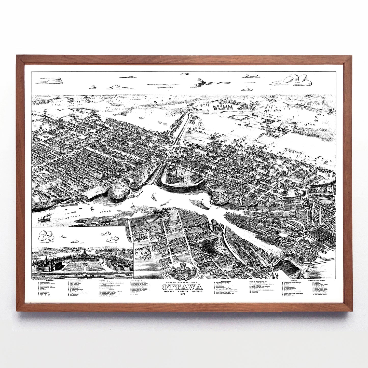
“Bird's Eye View of the City of Ottawa” print by Herman Brosius (1876)
“Bird's Eye View of the City of Ottawa” print by Herman Brosius (1876)
Couldn't load pickup availability
I’ve already told you about Herman Brosius, author of this splendid Hamilton map, and here he is at work on our nation’s capital city back when Parliament was still new and industry nearly blocked up the Ottawa River. It’s a southward view and Wellington, Sparks and Queen Street are clearly visible, but since Sir Wilfred Laurier hadn’t ascended to federal politics yet, Laurier Street is named “Theodore” east of the Rideau and “Maria” west of the Rideau. Cartier Square (just a little above the map’s centre) would eventually host modern-day Ottawa City Hall.
A reproduction available at 16x12" or 24x18" on Epson Enhanced Matte 192 gsm paper printed with Epson UltraChrome XD2 archival ink. Sold in an open edition, unframed. Reproduced from a public domain digital file provided by Natural Resources Canada.


