“East Whitby Centennial Map” print by Anonymous (1967)
“East Whitby Centennial Map” print by Anonymous (1967)
Couldn't load pickup availability
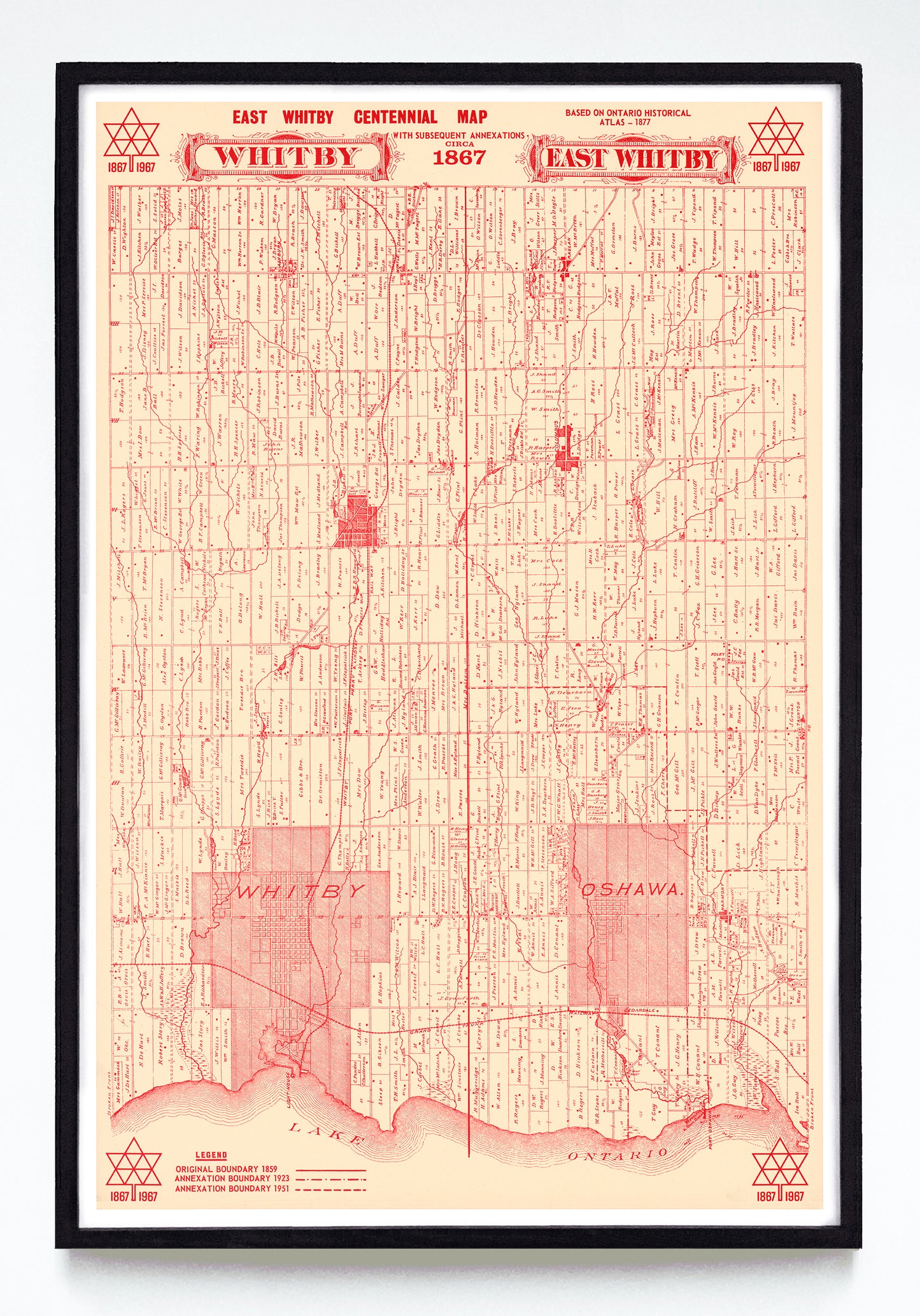
This red-on-tan map of Whitby and Oshawa wears its history on its sleeve, showing Whitby and Oshawa's original 1859 boundaries, their surrounding landowners circa 1877, the 1923 city boundaries, the 1951 city boundaries, and Canadian Centennial branding from the year it was created. I especially like the mix of styles, putting the very 19th-century "Whitby" and "Oshawa" nameplates next to Stuart Ash's near-legendary and modern Centennial symbol, which is a personal favourite of mine.
A reproduction available at 12x18" or 24x36" on Epson Enhanced Matte 192 gsm paper printed with Epson UltraChrome XD2 archival ink. Sold in an open edition, unframed. Based on this original public domain holding at Library & Archives Canada.