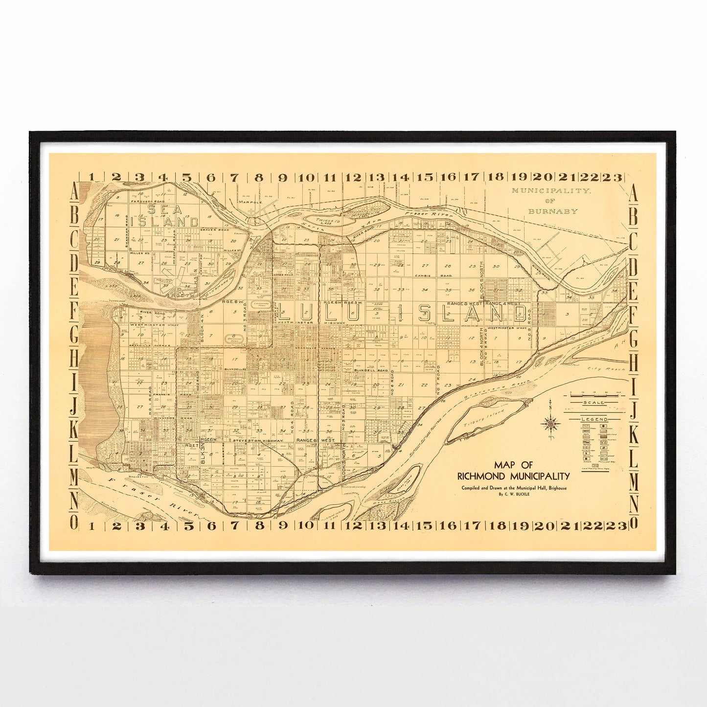
“Map of Richmond Municipality” print by C. W. Buckle (1945)
“Map of Richmond Municipality” print by C. W. Buckle (1945)
Regular price
$60.00 CAD
Regular price
Sale price
$60.00 CAD
Unit price
per
Couldn't load pickup availability
I was about to write that I'd never been to Richmond, but then I realized that I'd flown into the Vancouver International Airport, and here it is on Sea Island as it stood in 1945. Anyway, Richmond was incorporated as a municipality in 1879, the Sea Island airport was built in 1931, Richmond became a city in 1990, and this handsome brown-on-beige map was drawn by C. W. Buckle of the Richmond Municipal Hall.
A reproduction available at 18x12" or 36x24" on Epson Enhanced Matte 192 gsm paper printed with Epson UltraChrome XD2 archival ink. Sold in an open edition, unframed. Based on this original public domain image held the City of Vancouver Archives.