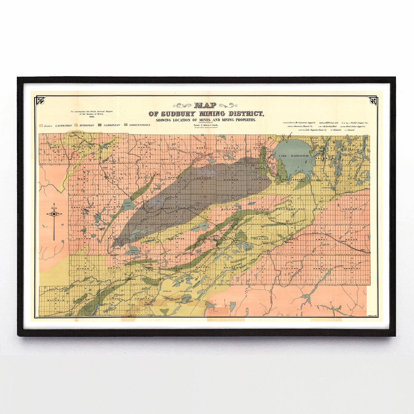
“Map of Sudbury Mining District” print by J. Walter Evans (1900)
“Map of Sudbury Mining District” print by J. Walter Evans (1900)
Couldn't load pickup availability
There’s a joke going around that Canada is just three mining companies posing as a country by stacking on top of each other and wearing a trenchcoat, but that leaves out so many companies. This map (with a surprisingly on-trend colour scheme) shows what made modern Sudbury — the Laurentian, Huronian, Cambrian, and greenstone geologies colour-coded at top left, and the seven mining companies active circa 1900 at top right. Sudbury itself sits just a bit down and to the right of map’s centre, a speck amongst the lines and forms.
A reproduction available at 18x12” or 36x24” on Epson Enhanced Matte 192 gsm paper printed with Epson UltraChrome XD2 archival ink. Sold in an open edition, unframed. Based on this original public domain image held by the York University Digital Library.