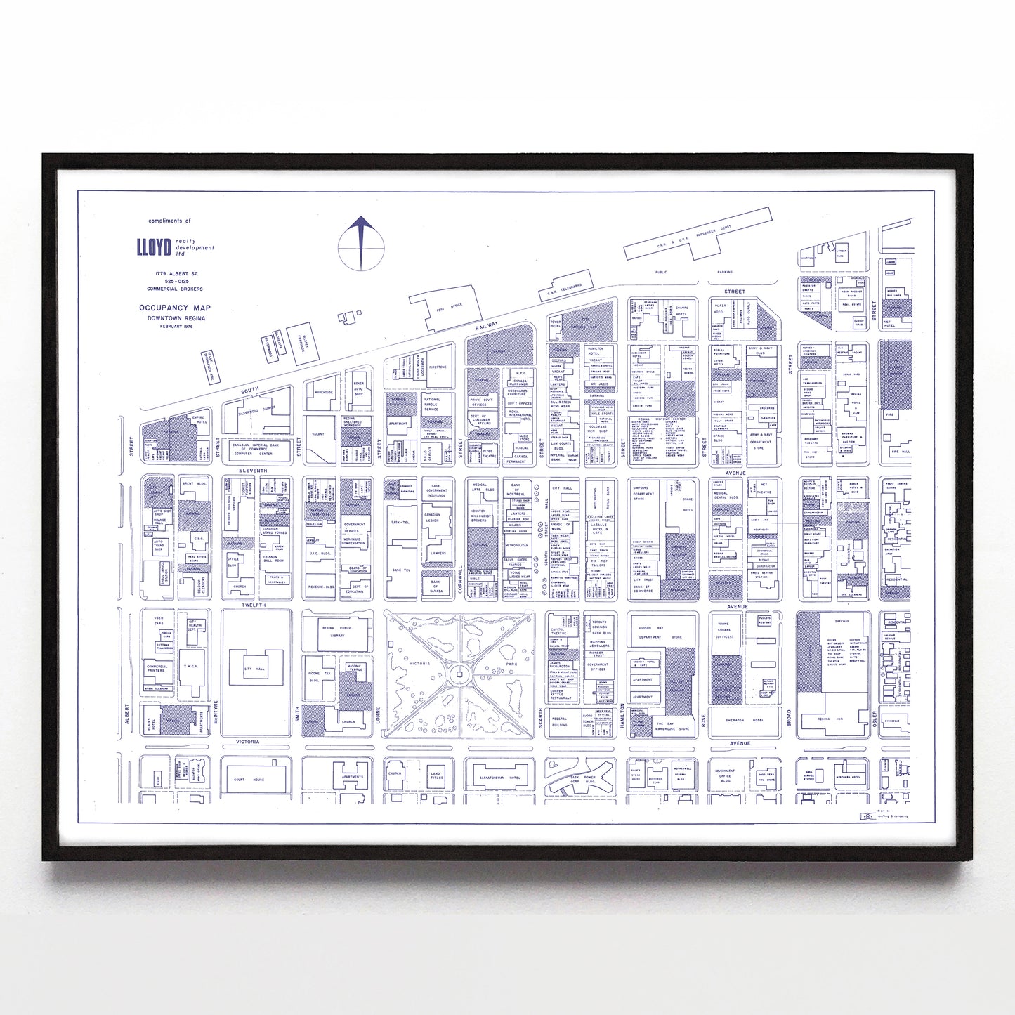
“Occupancy Map Downtown Regina” by C.B.O. Drafting & Computing (1976)
“Occupancy Map Downtown Regina” by C.B.O. Drafting & Computing (1976)
Couldn't load pickup availability
Time travel doesn't exist, except to very specific places and times. Here, C.B.O Drafting & Computing takes you to a very specific moment (February of 1976) and place in this occupancy map that originally given out as a freebie by Lloyd Realty Development Inc. What is that place? Downtown Regina around and inside Albert Street, Railway Street (modern day Saskatchewan Drive), Osler Street, and Victoria Ave.)
If you were downtown in '76, this map brings every shop and building back to you right now. And yes, the Copper Kettle is there on Scarth Street across from Victoria Park, as it always has been and always will be. Very little of the current downtown skyline has been built yet, but Readers Paradise, Sweet 16 Ladies Wear, Arcade of Music, and Gassy Jax Boutiques are all waiting to be remembered.
A reproduction available at 16x12" or 24x18" on Epson Enhanced Matte 192 gsm paper printed with Epson UltraChrome XD2 archival ink. Sold in an open edition, unframed. Restored from a digital copy from the City of Regina Archives.


