

Québec Illustrated (1881-1972)
Québec Illustrated (1881-1972)
Couldn't load pickup availability
Québec has been spoiled by the amount of skill that has gone into rendering it; in these 14 illustrations of Québec cities, I count four masterpieces by Stanley Turner and S. H. Maw alone. My favourite of the set, though, was made (in part) by a McGill architecture student named Pieter Sjipkes in 1972, who now lives just down the street from me.
In this collection:
1. “Carte de Vacances Bradings des
Régions de Montreal et des Laurentides”
print by Stanley Turner (1948)
2. “La Cité de Montréal”
print by S. H. Maw (1942)
3. “Yes, It's/Oui, C'est Pt. Saint Charles (Montréal)”
print by Sjipkes & Carter (1972)
4. “Bird’s Eye View of Sherbrooke”
print by Henry Wellge (1881)
5. “Map of the City of Sherbrooke”
print by C.F. McAlpine (1910)
6. “Comté de Laval”
print by A. J. Duchesnay (1931)
7. “The City of Quebec with Historical Notes”
print by S. H. Maw (1932)
8. “Carte de Vacances Bradings du Bas St. Laurent
et de la Région du Saguenay (et du Québec)”
print by Stanley Turner (1948)
9. “City of Verdun (Montréal)”
print by the Underwriter's Bureau (1922)
10. “Vue à Vol d'Oiseau de la Ville de Sorel”
print by Henry Wellge (1881)
11. “City of Montreal Map of Central Portion”
print by Arthur Oligny (1947)
12. “Vue à Vol d'Oiseau des Trois Rivières”
print by Henry Wellge (1881)
13. “Around Mount Royal Park, Montreal”
print by A. De Grandpre (1905)
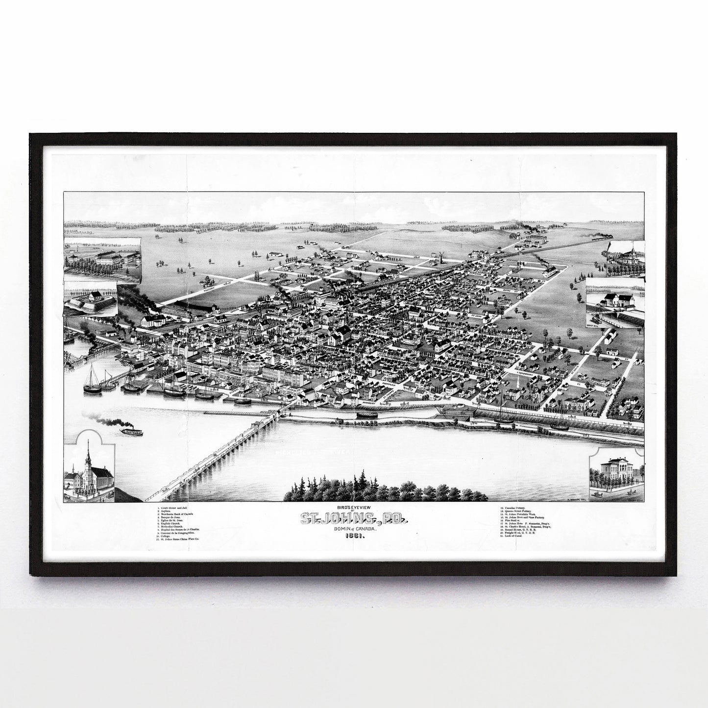
14. “Bird's Eye View of St. Johns
(Saint-Jean-Sur-Richelieu)”
print by Henry Wellge (1881)
Original sources include the Archives de Montréal, BAnQ, the David Rumsey Historical Map Collection, Library & Archives Canada, the Library of Congress, the McGill Rare Books & Special Collections Library, Pieter Sjipkes and the York University Digital Library.
Each reproduction is available in two different sizes on Epson Enhanced Matte 192 gsm paper printed with Epson UltraChrome XD2 archival ink. Sold in an open edition, unframed.