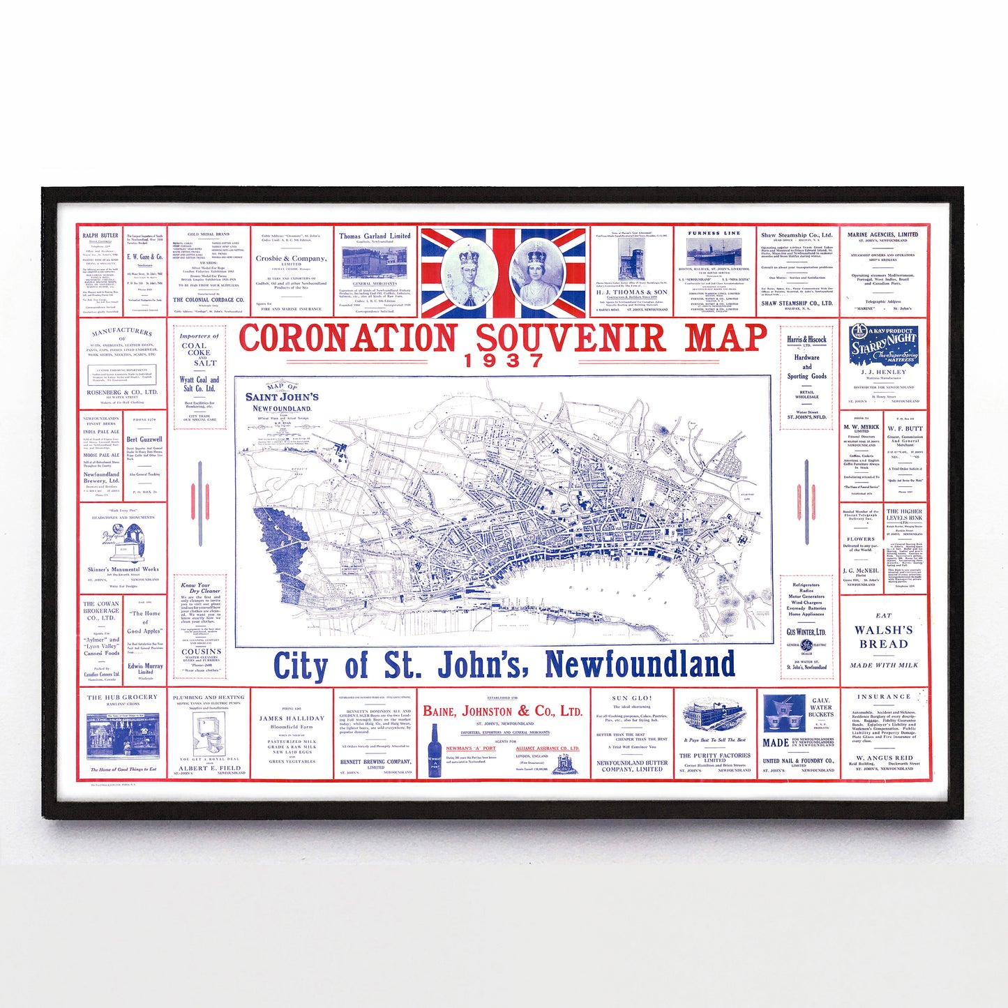
“St. John's Coronation Souvenir Map” print by W. P. Ryan et. al. (1937)
“St. John's Coronation Souvenir Map” print by W. P. Ryan et. al. (1937)
Couldn't load pickup availability
On the 12th of May 1937 George VI and Queen Elizabeth ascended to the throne of the Empire, and three dozen or so St. John's businesses thought it a great time to pool their advertising dollars and make this two-colour map. George and Elizabeth are at top centre, the map was drawn in 1932 by St. John’s City Engineer W. P. Ryan, and my favourite ad is the one for H. J. Thomas & Son contractors that boasts about them having built the Cabot Tower.
Oh, and while the central map has been deemed public domain by Library and Archives Canada, I’m sensitive to the trademarks found in the surrounding ads. If any of these businesses still exist and would like to discuss their presence on reproductions, drop a line and let’s talk.
A reproduction available at 18x12" or 36x24" on Epson Enhanced Matte 192 gsm paper printed with Epson UltraChrome XD2 archival ink. Sold in an open edition, unframed. Based on this public domain image found in the Memorial University of Newfoundland Queen Elizabeth II Map Room.


